Features
A queryable database, AI assistant, and real terrain data — built into every project from the ground up.
Design in Context
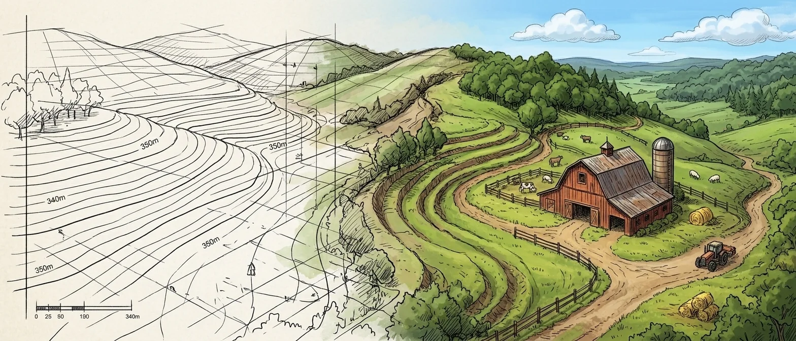
SiteCAD combines the precision of CAD software with the context of GIS mapping. See your designs on real terrain, with real data, in real time.
Built on Data, Powered by AI
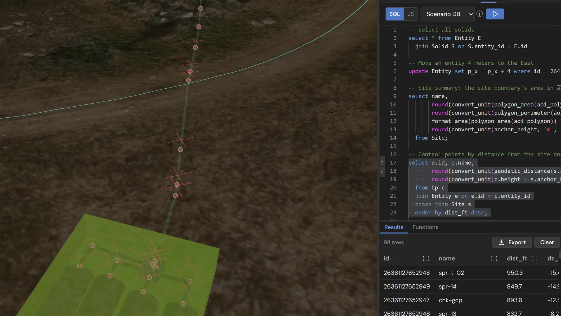
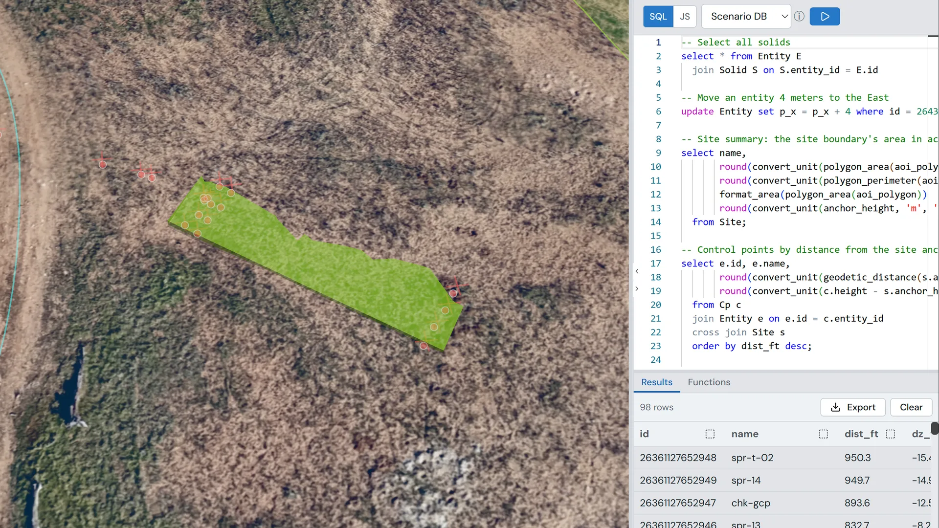
SiteCAD isn't just a drawing tool — every entity, measurement, and property lives in a queryable database. AI understands your data natively, so you can ask questions, automate tasks, and explore your data without leaving your design.
Everything is Queryable
Every entity, property, and relationship lives in SQL-accessible tables. Ask questions like "total fence length" or "all buildings within 50m of the well."
Learn more →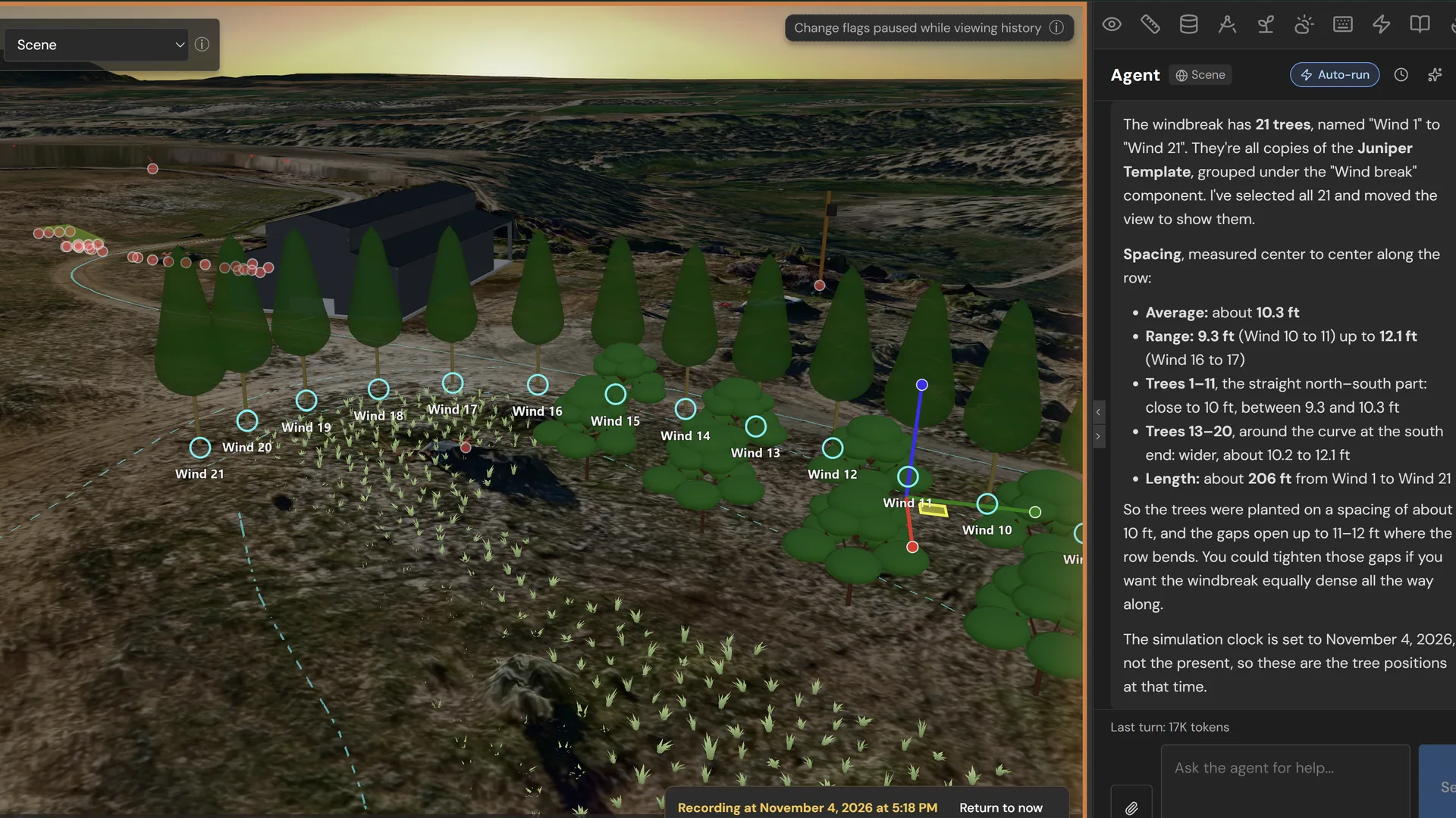
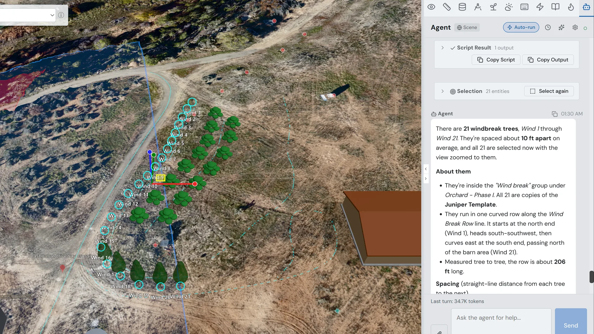
AI That Understands Your Site
Not a generic chatbot — the AI has direct access to your site database. It reads spatial relationships, calculates areas, and selects entities.
Learn more →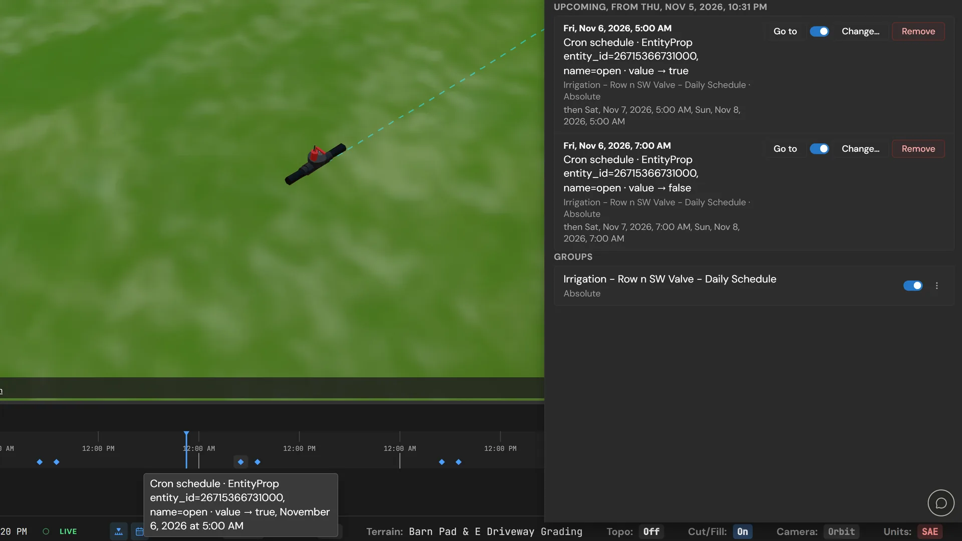
Live Data, Not Static Models Coming Soon
Connect real sensors and external data sources. Time-series storage, replay, and property binding keep your model in sync with reality.
Learn more →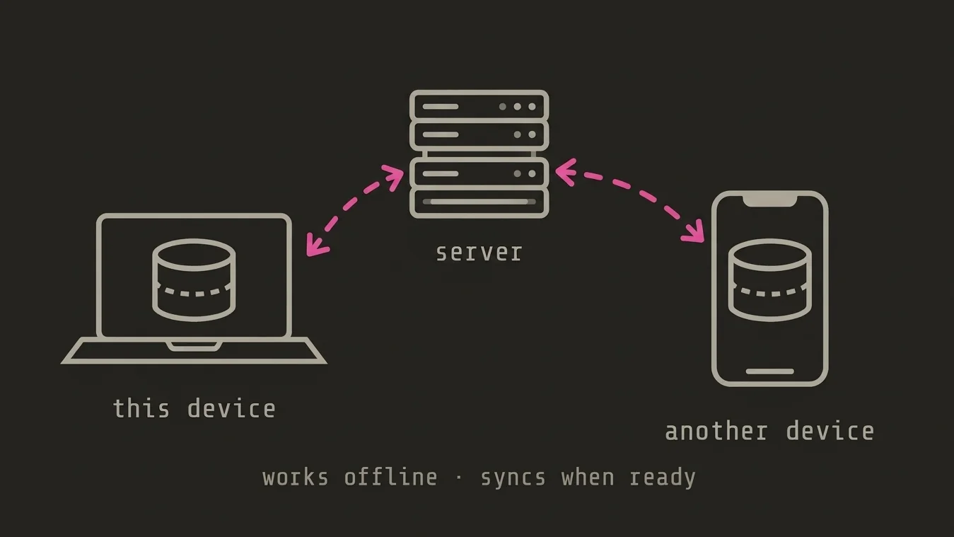
Local-First Architecture
Your data lives on your device first — works offline, syncs when ready. No vendor lock-in: export everything, query everything, own everything.
Learn more →Global Terrain
Start anywhere on Earth with high-resolution terrain data. Import your own surveys or use Cesium Ion assets.
Learn more →Parametric Solids
Build structures with parametric shapes that adapt to terrain. Define buildings, tanks, roads, and more.
Learn more →Dynamics & Sensors Coming Soon
Simulate water flow, soil moisture, temperature, and more. Connect real sensors via our API.
Learn more →AI Assistant
Chat with an AI that understands your site. Ask questions, get recommendations, and automate tasks.
Learn more →Scenarios
Branch your design into multiple scenarios. Compare options side-by-side and merge the best ideas.
Learn more →Collaboration
Publish shareable links for view-only 3D exploration, or use cloud sync for team collaboration.
Learn more →Export
Get your data where it needs to go — STEP for engineers, glTF for clients, GeoJSON for GIS. Or just tell the AI who you're sending it to.
Learn more →Import
Bring in surveys, drone maps, CAD models, and GIS data. Drag and drop or let the AI handle format detection and conversion.
Learn more →Element Types
Building blocks for your project — from parametric solids and meshes to traces, boundaries, and annotations.
Learn more →Ready to start planning?
Jump into the editor and start designing your site today. No account required.