Sell Land with Vision
Help buyers see the potential
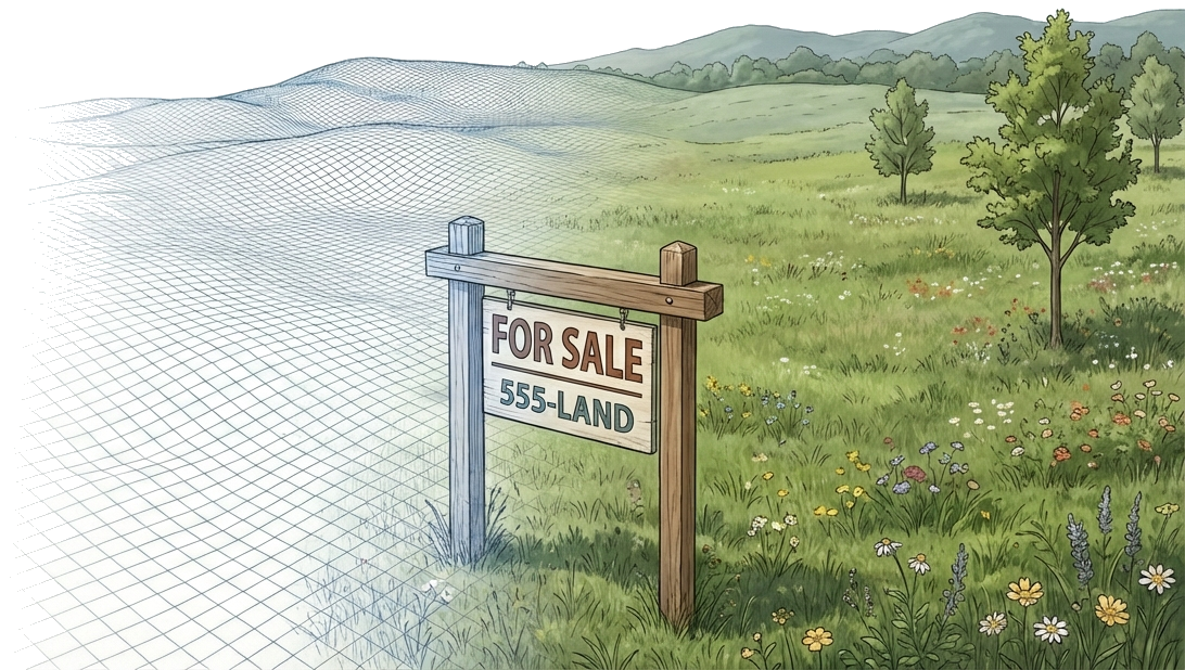
The Challenge
Selling raw land is hard because buyers struggle to see beyond dirt and trees:
- Drone photos show what exists, not what's possible
- Buyers can't visualize where a house would fit
- Competing with developed properties that "show better"
- No time to learn complex 3D modeling software
- Each property needs custom visualization
The SiteCAD Way
SiteCAD lets you turn raw land into a visual story buyers can walk through. Drop sample buildings to show scale. Publish interactive 3D links that let buyers explore the possibilities from any device — not static renderings, but an experience they can rotate, zoom, and navigate on their own. Go from raw land to a shareable 3D property showcase in minutes — no CAD experience needed.
Walkthrough: Property Marketing Package
Quick Site Setup
- Draw property boundary on satellite imagery
- System automatically calculates acreage
Show the Potential
- Place a sample house at the best building site
- Add a barn, driveway, and fence lines
- Position gardens and outdoor areas
Highlight Key Features
- Mark the best views with camera bookmarks
- Annotate water features, mature trees, road frontage
- Show utility access points
Generate Marketing Materials
- Publish an interactive link buyers can explore on any device
- Capture screenshots from compelling angles
- Export site data in standard formats for reference
Reuse and Adapt
- Export your design as a scenario bundle for reuse
- Branch scenarios for different buyer visions
- Customize layouts for each listing
Data & AI in Action
Ask the AI
"Sketch a house at the best building site and add a driveway from the road"
The AI analyzes your terrain and places components where they make sense
"Create two scenarios — different layout options for the property"
Buyers flip between visions to find what excites them
Your Data, Queryable
Acreage, setbacks, road frontage — real numbers for your listing
Every measurement is computed from actual terrain, not estimated
Features You'll Use
Common Marketing Projects
Published Links
Interactive 3D views buyers can explore
Visual Presentations
Before/after views with improvements
Site Plans
Clear layouts showing property potential
Building Sites
Identify and visualize the best locations
Development Options
Multiple scenarios for different buyers
Listing Packages
Complete marketing materials
Start Marketing Properties
Jump into the editor and start visualizing your listing. Publishing the 3D showcase link comes with a paid plan; your buyers open it for free — no account, no sign-in.