Manage and Protect Land
Track changes and plan restoration
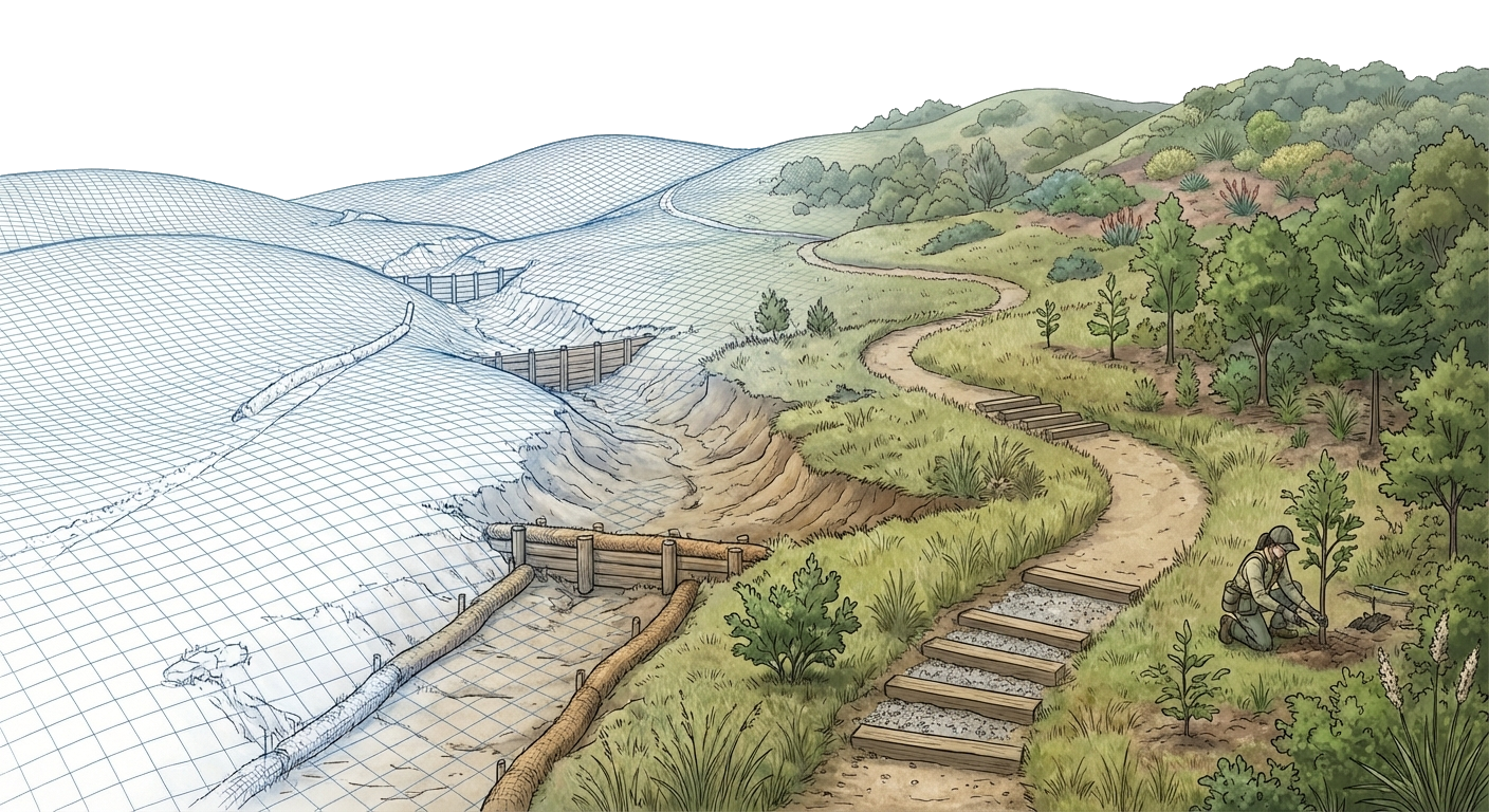
The Challenge
Conservation land requires ongoing management — easements need documentation, habitats need protection, fire risk needs planning. But conservation organizations often lack the spatial tools to:
- Document easement baselines and track condition changes
- Plan firebreaks, prescribed burns, and defensible space
- Monitor terrain changes over multiple years
- Map sensitive habitat areas for regulatory compliance
- Present compelling visuals for grant applications and donor reports
The SiteCAD Way
SiteCAD provides conservation managers with spatial tools that don't require GIS expertise. Document easement baselines on real terrain. Map habitat zones and plan restoration with rich attributes and measurements. Create before/after visualizations that tell the story of your conservation work — then share with boards, donors, and regulators through published links, no sign-in required.
Walkthrough: Easement Baseline Documentation
Import Property Data
- Load aerial imagery and parcel boundaries
- Bring survey elevation and imagery in as a terrain layer
Document Existing Conditions
- Trace access roads, fence lines, and existing structures
- Mark habitat zones, water features, and vegetation boundaries
- Add annotations for condition notes and photo references
Map Conservation Values
- Define protected areas with boundary entities
- Record sensitive species locations and buffer zones
- Document viewsheds and scenic resources
Measure and Analyze
- Calculate acreage for each habitat zone
- Use the AI to query conditions across the site
- Compare terrain across monitoring periods with scenarios
Share with Stakeholders
- Publish a shareable link for landowners, attorneys, and board members
- Export maps and data for baseline reports
- Create grant-ready visuals from the 3D view
Data & AI in Action
Ask the AI
"What's the total acreage of riparian buffer zones?"
Queries boundary areas by habitat classification
Your Data, Queryable
List wildlife camera triggers, water quality samples, and visitor counts
All spatial, all queryable — track conservation metrics over time
Features You'll Use
Common Conservation Projects
Trail Management
Design, maintain, and reroute sustainable trails
Habitat Mapping
Document sensitive areas and species locations
Erosion Monitoring
Track terrain changes and restoration progress
Restoration Planning
Visualize before/after for project planning
Fire Management
Plan firebreaks, prescribed burns, and defensible space
Grant Applications
Compelling visuals for funding requests
Start Managing Your Conservation Land
Jump into the editor and start mapping your conservation land.