Plan Farm Infrastructure on Real Terrain
Design infrastructure on your actual terrain — and know what you'll need before you build
The Challenge
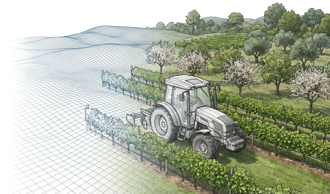
Planning farm and ranch infrastructure — fencing, irrigation, buildings, access roads — means working with terrain you can't fully see from the ground. Most people sketch plans on paper or try to describe them over the phone:
- You can't estimate materials without knowing actual distances and elevation changes
- Contractors need real measurements, not hand-drawn sketches
- NRCS and other agencies want clear documentation of proposed improvements
- Comparing layout alternatives means starting from scratch each time
The SiteCAD Way
SiteCAD lets you see your actual terrain in 3D and plan infrastructure with real measurements. Lay out fencing and get accurate post counts. Route irrigation lines with elevation data. Place buildings and access roads where they make sense on the terrain. Compare alternatives with scenario branching, then export plans for contractors and agencies.
Walkthrough: Fence Line Planning
Set Up Your Site
- Draw your property boundary on satellite imagery
- Bring in high-resolution terrain as a layer for accurate measurements
Map Existing Infrastructure
- Trace existing fence lines, roads, and waterways
- Place buildings, wells, and other structures
Plan New Fence Lines
- Draw proposed fence runs on real terrain
- See actual distances and elevation changes along each run
- Place gates, corners, and braces
Compare Alternatives
- Branch scenarios to evaluate different layouts
- Compare materials and distances side by side
- Use the AI assistant to calculate post counts and materials
Share with Contractors
- Export plans with real measurements for bidding
- Publish a shareable link so contractors can see the terrain
- Generate documentation for NRCS or other agencies
Data & AI in Action
Ask the AI
"How many fence posts do I need for the north pasture fence at 10-foot spacing?"
Queries trace length and calculates materials from your design
Your Data, Queryable
Every fence line, building, and boundary is queryable — distances, areas, elevations
Get real numbers for materials lists, contractor bids, and agency paperwork
Features You'll Use
Common Agricultural Projects
Irrigation Design
Optimize pipe routing and pressure calculations
Fencing & Corrals
Accurate post counts and layout on real terrain
Access Roads
Route roads following terrain contours
Waterways & Drainage
Plan ditches, waterways, and terraces
Building Placement
Position barns, shops, and storage on terrain
Investment Planning
Compare ROI for different infrastructure options
Start Planning Your Operation
Jump into the editor and start mapping your operation.