Visualize Outdoor Spaces
3D visualizations clients can understand
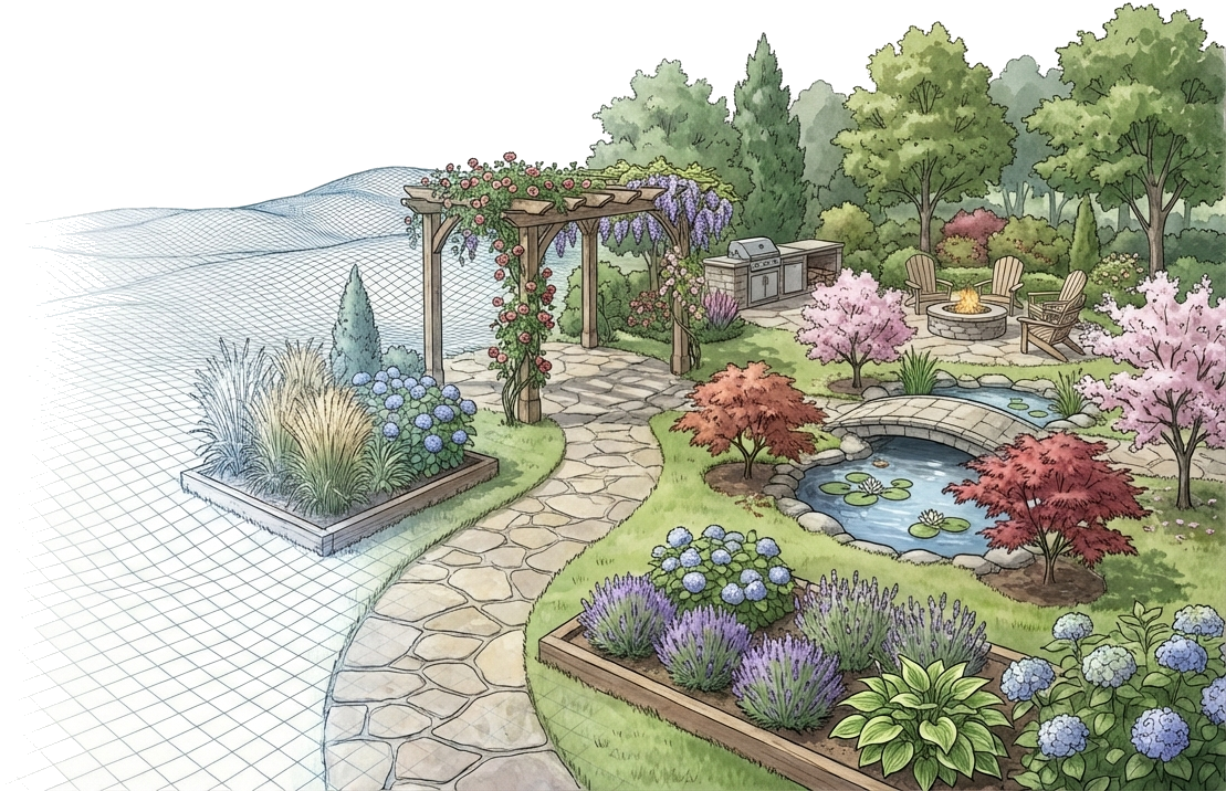
The Challenge
Landscape design is visual — clients need to see the finished space to approve the design. But traditional tools make this difficult:
- CAD software doesn't understand real terrain
- 3D tools are expensive and time-consuming
- Clients can't interpret 2D plans
- Irrigation design requires tedious calculations
- Sharing terrain-accurate designs requires extra steps
The SiteCAD Way
SiteCAD combines accurate terrain modeling with intuitive design tools. Import survey data for precise grading. Design hardscape with parametric solids. Place components to represent plantings, structures, and features. Use elevation data to inform irrigation routing. Present designs in interactive 3D views that clients actually understand.
Walkthrough: Residential Landscape Design
Capture Existing Conditions
- Import survey data or drone imagery
- Document existing features (house, trees, utilities)
Design Grading
- Modify terrain for proper drainage
- Create level areas for patios and gathering spaces
- Design retention features for stormwater
Place Hardscape
- Design patios with parametric paver patterns
- Create retaining walls following grade changes
- Add water features, fire pits, outdoor kitchens
Plan Plantings & Features
- Place components to represent plantings and landscape features
- Use annotations to label species, sizes, and zones
- Organize elements by water requirements or functional area
Design Irrigation
- Route main lines from water source following terrain
- Define zones based on area requirements
- Use elevation data to inform layout decisions
Present to Client
- Publish a shareable link for client review
- Create scenario alternatives (Option A vs. B)
- Export in standard formats for permitting
Data & AI in Action
Ask the AI
"What plants are suitable for this USDA zone in partial shade?"
Web search plus context-aware placement suggestions
Your Data, Queryable
Track plant inventories, maintenance schedules, and material quantities
Query across the whole design for accurate proposals and ordering
Features You'll Use
Common Landscape Projects
Residential Yards
Complete outdoor living design
Water Features
Pools, ponds, and fountains
Planting Plans
Native and ornamental layouts
Irrigation Layout
Zone layout and terrain-aware routing
Outdoor Living
Kitchens, fire pits, and entertainment
Commercial Landscapes
Office parks and retail spaces
Start Your Landscape Design
Jump into the editor and start designing your outdoor space.